* Photo click ⇒ Enlarge in photo display field *
Kuwasawayama(1,538.3m) Mountain climbing diary
2016 April 19 (Tue.) Fine
Fukuroyama Forest Road Entrance (Car) ⇒ Mt.Kuwasawayama mountain trail entrance(11:16 37分) ⇒ Mt.Kuwasawayama trailhead(11:53 12分) ⇒ Rokuyasama branch(12:05 25分) ⇒ Mt.Kuwasawayama(12:30)
Mt.Kuwasawayama(13:00 21分) ⇒ Rokuyasama branch(13:21 3分) ⇒ Rokuyasama(13:24 4分) ⇒ Rokuyasama branch(13:28 7分) ⇒ Mt.Kuwasawayama trailhead(13:35 23分) ⇒ Mt.Kuwasawayama mountain trail entrance(13:58)
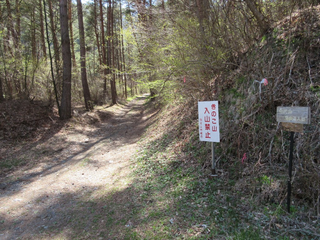
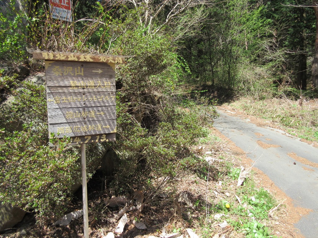 During this period, there is a lot of snow left in Takayama, so we are climbing mainly in Easy mountain.MT.Kuwasawayama is a massif that continues from Mt.Kyougatake and is located near the center of the massif.It is a very complicated road to reach the trailhead.From the Chuou Expressway Ihoku IC, take Route 153 toward Tatsuno and turn left on the narrow road just ahead of the Uba traffic light.If you follow the road for a while, you will find a guide to the Maret Golf Course, and there is a Mt.Kuwasawayama Trail Entrance (Hukuroyama Forest Road) Information Board .From there, it becomes a dirt road(Hukuroyama Forest Road), which is a very bad road.If you go further, you will encounter a relatively wide and well maintained forest road.Turn right there and drive for about 5 minutes. There is a Mt.Kuwasawayama mountain trail entrance information board on the left side.There is a narrow forest road to the left where cars can pass, but I decided to leave my car there and walk.There is a large parking lot at the end of the forest road. That is the Mt.Kuwasawayama trailhead .I walked there for nearly 40 minutes, so it should be over 2km.There were some rough spots on the forest road, but it is a level that does not hinder the passage of cars.However, twigs were scattered on the forest road.
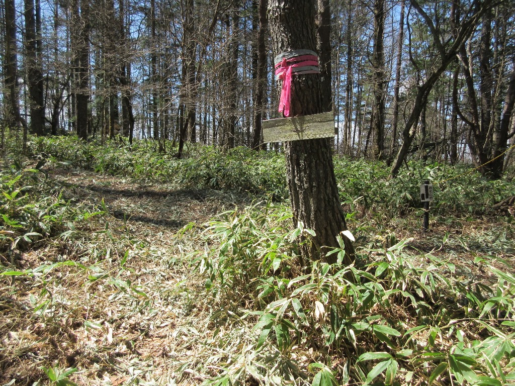
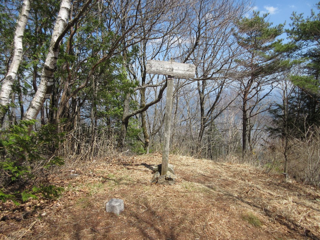
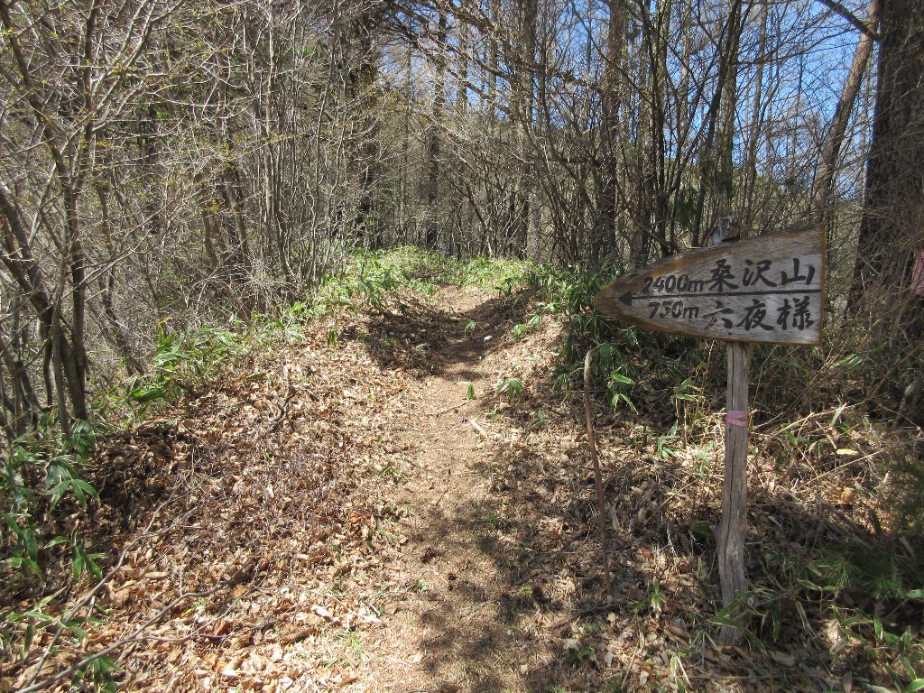
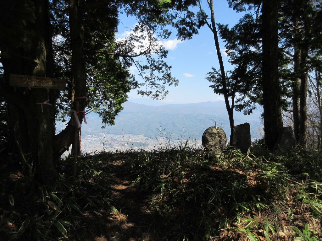 The mountain trail was carved with a narrow road like weaving a mountainside.I arrived at Mt.Kuwas.awayama and Rokuyasama branch in 12 minutes.Mt.Kuwasawayama is on the left and Rokuyasama is on the right.Rokuyasama decided to stop by on his way home and proceed to the left.From there, you will walk in Bamboo covered road, but it is easy to walk because it has been cut.After a gentle climb and a flat road, you will reach a small peak and then descend.It is the last uphill of Mt.Kuwasawayama after going down.I arrived at the summit in 37 minutes from the trailhead.I could see the Southern Alps through the gaps between the trees, but the view was not so good.Take a break for about 30 minutes and go down the mountain early.Go to Rokuyasama in 24 minutes.Rokuyasama opened the view on the east side and could see Yatsugatake well beyond Mt. Moriyayama.From there, it takes 35 minutes to reach the trailhead.It was a round trip from the trailhead, and it took 1 hour and 12 minutes, excluding breaks.Take the forest road for 23 minutes and return to the parking lot.On the way back, I drove to a well maintained forest road and came out near the border between Tatsunocho and Minowacho on the Yoji Tatsuno Line (near Nagano Nature Park).
Nearest hot spring
Minowa Onsen Nagata no Yu(0265-70-1234)➠ Map
Located in the northern part of Ina Valley, on a high ground overlooking the Southern Alps.Popular as a hot spring that becomes a beautiful woman when you take a bath.
・Address:2134-42 Nakaminowa, Minowachou, Kamiina District, Nagano Prefecture
・Bathroom:Indoor bath、Open-air bath、Hit with hot water、Sauna
・Method:Add heat
・Spring quality:Na-Bicarbonate spring(45.5℃)
・Business hours:(10-5)9:45~21:00,(6-8)9:45~21:30
・Closing day:Tue.(Open on public holidays)
・Bath charge:¥500
・Sightseeing spot:Shinshu Ina Baien、Kayano Plateau
Arakamiyama Onsen Yuniiku Center(0266-41-5555)➠ Map
・Address:2273 Higuchi, Tatsunochou, Kamiina-gun, Nagano Prefecture
・Bathroom:Indoor bath
・Method:Add heat
・Spring quality:Na-Bicarbonate spring(37.2℃)
・Business hours:7:00~21:00/2nd, 4th and 5th Tue. 17:00~21:00
・Closing day:Open daily
・Bath charge:¥500/¥5,000 13sheets
・Discount:26日 ¥350
・Sightseeing spot:Koujinyama Park、Yokogawa Valley