* Photo click ⇒ Enlarge in photo display field *
Mt. Bunagatake (1,214m) mountain climbing diary
September 11, 2017(Mon.) Cloudy then rain
Gotenyama Course Trailhead➠ Map (10:34 1h 1m) ⇒ Ridge beginning(11:35 8m) ⇒ branch of the snowy season course and the snowless season course(11:43 36m) ⇒ Gotenyama_1,097m(12:19 8m) ⇒ Wasabi pass(12:27 56m) ⇒ Mt.Konoyamadake branch(12:53 2m) ⇒ Mt. Bunagatake(12:55 29m) ⇒ Gotenyama_1,097m(13:24 39m) ⇒ Ridge beginning(14:03 49m) ⇒ Gotenyama Course Trailhead(14:52)
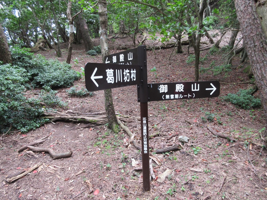
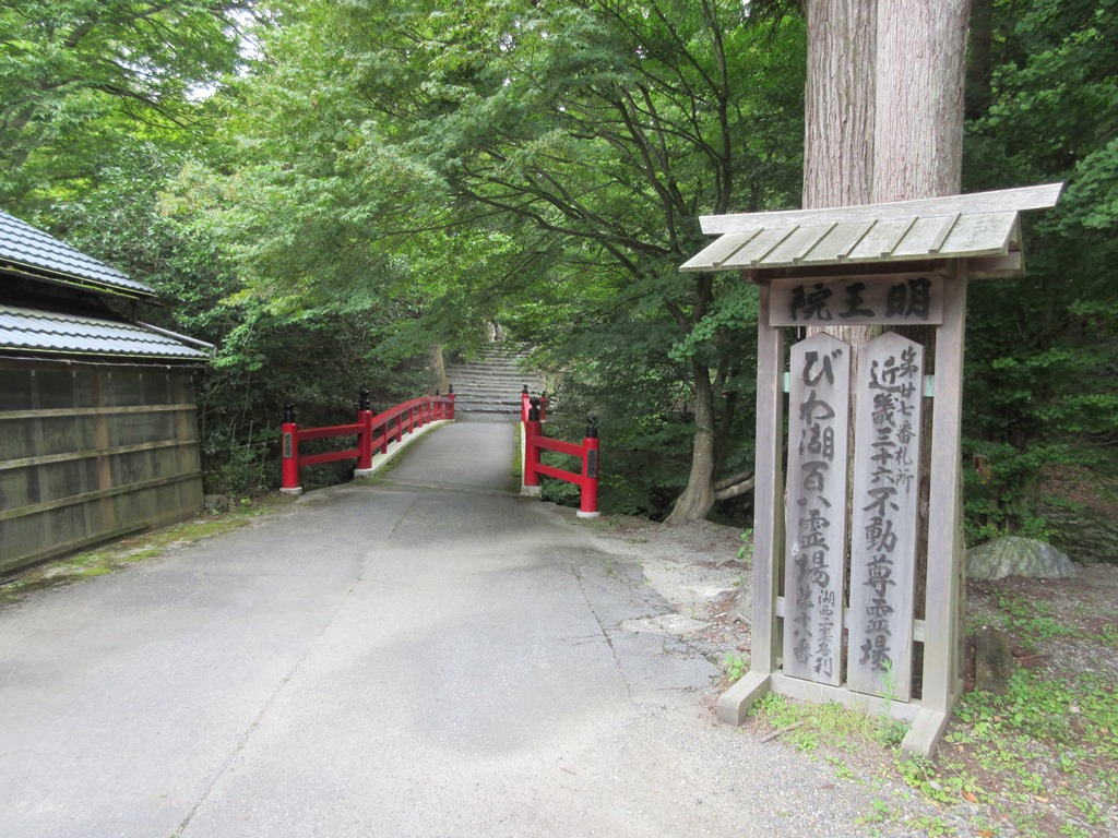 Common climbing courses on Mt. Bunagatake are Gotenyama course and Syoumendani course.The weather forecast for this mountain climbing day was cloudy then rainy, so I chose the Gotenyama course, which has a short time.。Invite a friend to climb the mountain at the synchronous party held at Arima hot spring.Since it was the start after the dissolution of the synchronous party, the arrival at the Kuzugawa Citizens Center parking lot near the trailhead was past 10 o'clock.Cross the Akebono Bridge over the Azumi River and walk left in front of the Jinushi shrine for a while, and you will see a red bridge.The side of Kuzukawa Meiouin after crossing the bridge is the beginning of Gotenyama Course.Follow the mountain trail with good visibility on the cedar plantation in small steps.When you reach a flat surface, the slope becomes even steeper.Vegetation changes from cedar to beech forest.Climb up there and follow the iuctions on theinformation board of the ridge attachment part and turn left to enter the ridge road.If you walk for about 10 minutes, you will reach the branch of the snowy season course and the snowless season course.
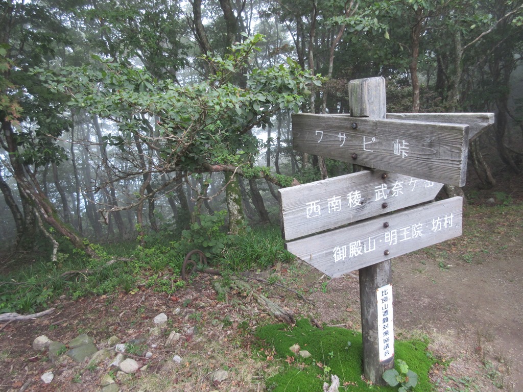
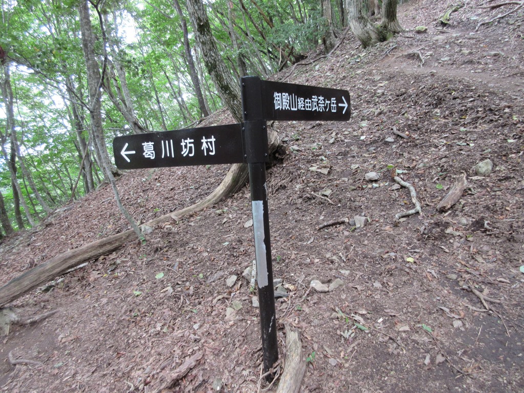
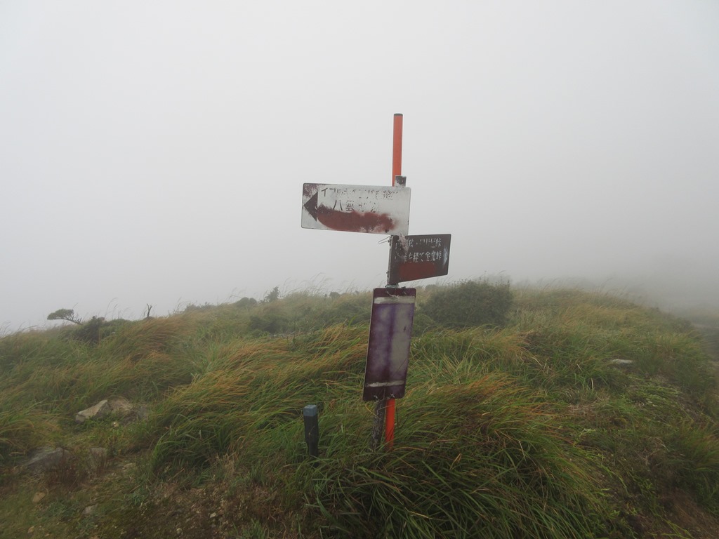 Take the road in the direction of the snowless season course and follow the road on the right side of the ridge.Enter the ridge road of Gotenyama from the source of the river.Gotenyama is right there.Mt.Bunagatake seen from Gotenyama is a gas, so the shape of the mountain cannot be understood.The sky is getting worse.After going down the shrub belt for about 10 minutes, you will reach Wasabi Pass.Proceeding there in the direction of Nakatouge, you will reach the syoumendani course.Proceed to the southwestern ridge, pass two small peaks, and cross a small rocky area to become a branch to Mt. Komanodake.There is no visibility in the gas, and I can only see near my feet.
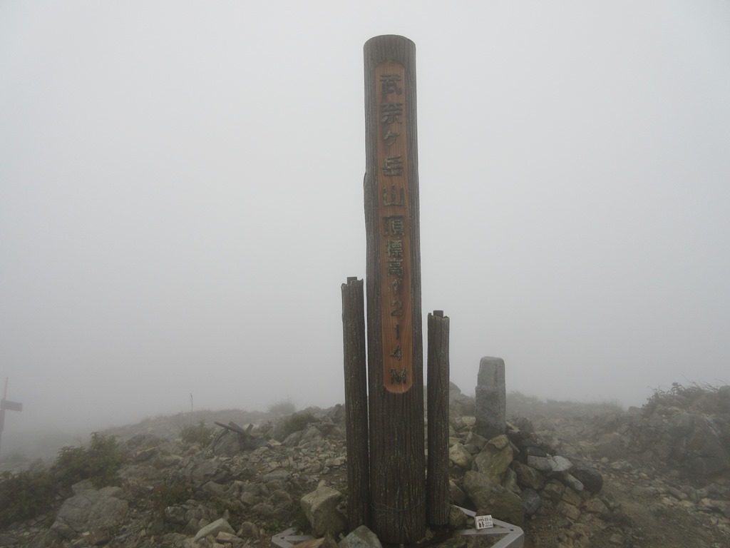 Mt.Bunagatake(1,214m) summit is right there, but I saw the summit display board and confirmed it for the first time.It's a 2 hour 21 minute course time.The wind gets stronger and the hair gets wet with gas.Take a picture and start descending early.After a while, the drizzle changes to raindrops.Return to Gotenyama in about 30 minutes.Take simple rain measures near it and hurry ahead.The mountain trail is slippery and dark, so be careful of feet.From the point down the ridge, the rain turns into a light rain.Turn right and hurry up the mountain trail in the tree planting.It took 1 hour 57 minutes to go down the mountain。At that time, the rain had stopped.I change my clothes and go home.