* Photo click ⇒ Enlarged to the photo display column *
Mt.Akagiyama_Kurobiyama(1,828m)Mountain climbing notes
June 4, 2014(Wed.) Cloudiness
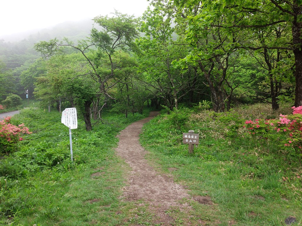
Kurobiyama Trailhead➠ Map (4:50 55m) ⇒ Homagatake Branch(5:45 3m) ⇒ Kurobiyama(5:48-5:53 36m) ⇒ Kurobiyama Trailhead(6:29)
 After climbing Mt. Myogi yesterday, I decided to move to Akagiyama Kurohinzan mountain climbing exit parking lot and stay overnight in the car. Although it was extremely hot in the daytime, it was quite cold at night due to high altitude.
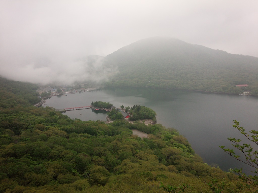
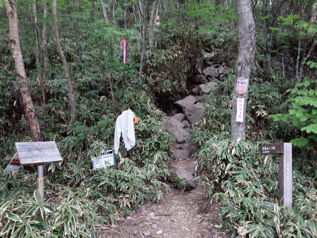
I woke up around 4 o'clock but left the trailhead before 5 o'clock when the brightness increased. It was a drizzle, so I'm going fast, hoping that it won't rain. According to the mountaineering guide, the distance from Onuma to the highest peak, Kuroki Hinoki, is 1.1km and the difference in elevation is less than 500M. It is a one-and-a-half hour climb and one hour downhill course. The trail is rocky and hard to walk. On the way, we could clearly see Onuma and Akagi Shrine. As the altitude increased, the gas became deeper.
I left the trailhead.It was a drizzle, so I'm going fast, hoping that it won't rain. According to the mountaineering guide, the distance from Onuma to the highest peak, Kuroki Hinoki, is 1.1km and the difference in elevation is less than 500M. It is a one-and-a-half hour climb and one hour downhill course. The trail is rocky and hard to walk.On the way, we could clearly see Onuma and Akagi Shrine.As the altitude increased, the gas became deeper.
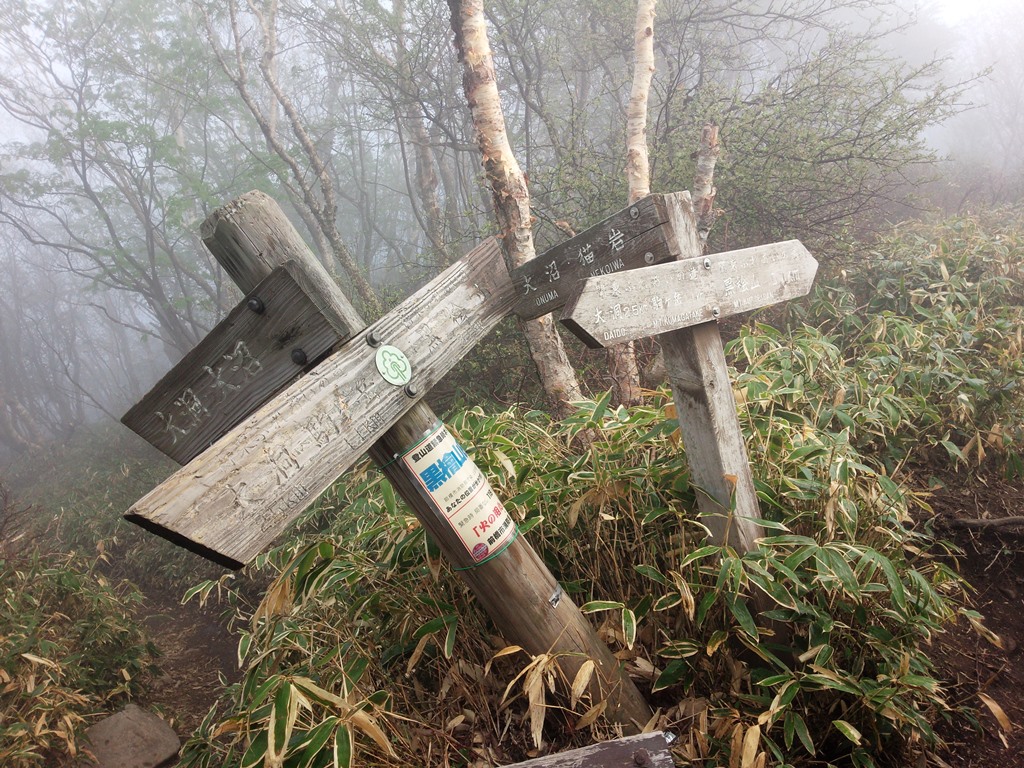
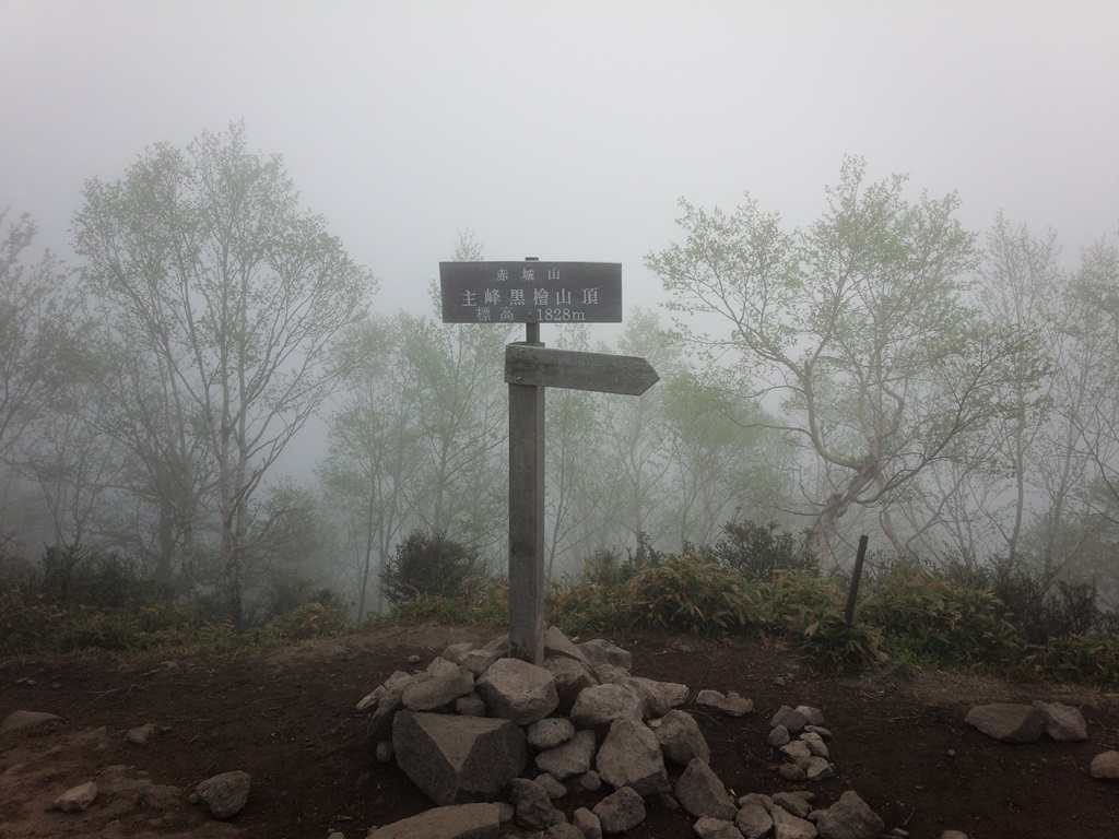 In 55 minutes, we arrived at the Komagatake branch and soon reached the summit of Kurobiyama Mt..The top of the mountain was deep and there was no prospect. It was such a bad weather, so I went back to Komagatake early. The descent was 36 minutes, so I didn't feel tired at all even though I climbed Mt. Myogi yesterday.
Harunahuji(1,390.3m)Mountain climbing notes
June 4, 2014(Wed.) Cloudiness
Harunahuji Trailhead➠ Map (8:30 30m) ⇒ Hujisan Shrine、Triangular point(9:00-9:06 23m) ⇒ Harunahuji Trailhead(9:29)
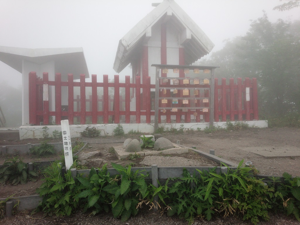
 There was Lake Haruna on my way home, so I decided to climb Mount Haruna. When we arrived at Lake Haruna, we could see only about 5m because of the gas. Still, the ropeway was running.Depart from Harunahuji Trailhead at 8:30.The trail is very easy to walk and is suitable for trekking.
30 minutes to reach "Youhaisyo".There is no view of the nearby Ropeway mountaintop station, and of course the customers cannot be seen.
There was Lake Haruna on my way home, so I decided to climb Mount Haruna. When we arrived at Lake Haruna, we could see only about 5m because of the gas. Still, the ropeway was running.Depart from Harunahuji Trailhead at 8:30.The trail is very easy to walk and is suitable for trekking.
30 minutes to reach "Youhaisyo".There is no view of the nearby Ropeway mountaintop station, and of course the customers cannot be seen.
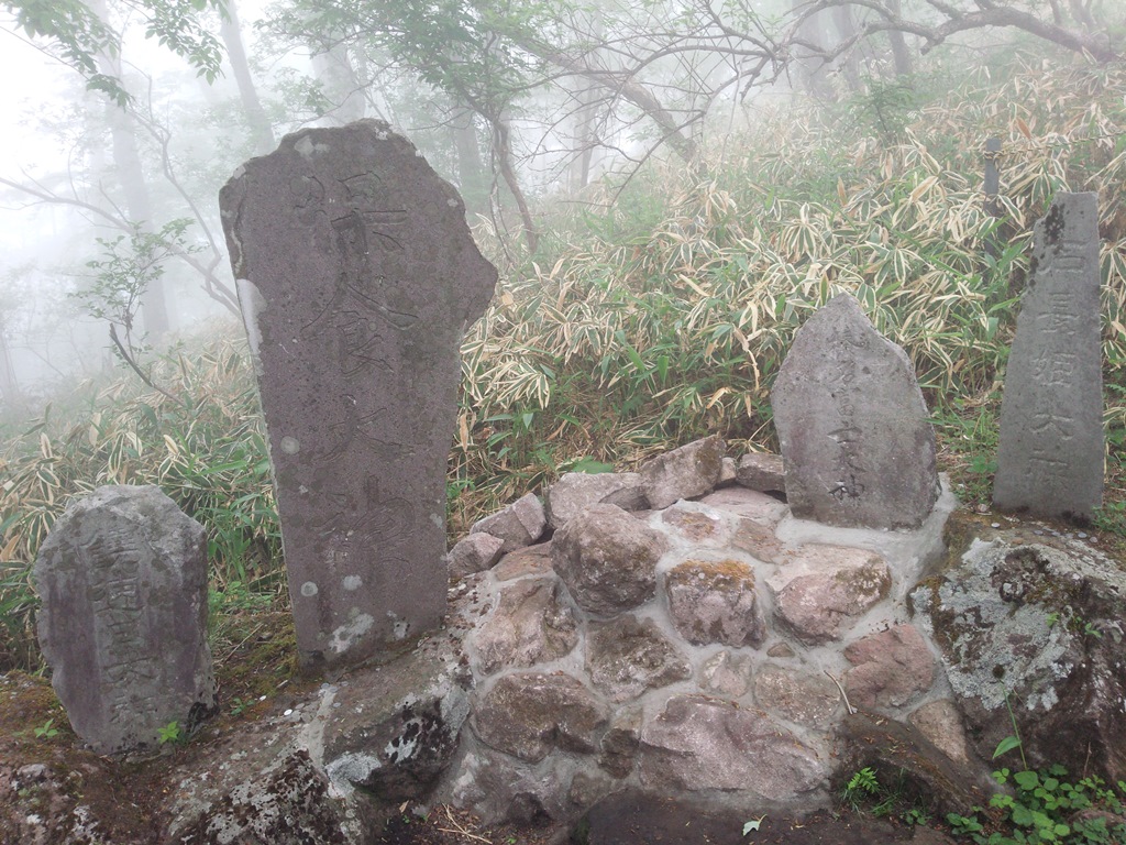
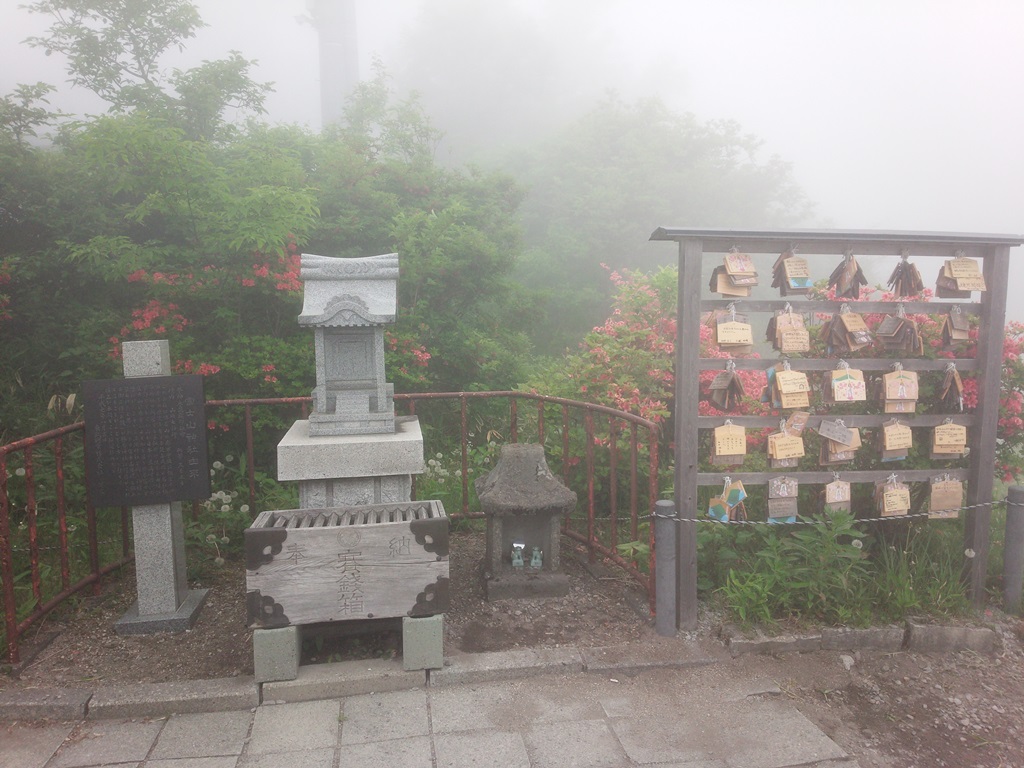
 After climbing the stairs for a while, there was a Hujisan Shrine、Triangular point. Take a hazy summit commemorative photo and worship Rahabichi Okami, Hoshoku Okami, Haruna Fuji Ogami, and Ishichohime Ogami Monument and turn back as soon as possible.It was a rushing run, so it was a one-hour climb.